-
SOCIAL INFRASTRUCTURE
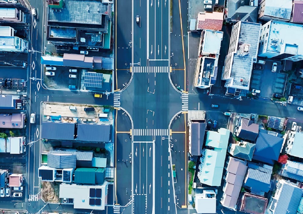
In critical infrastructure sectors such as railways, electricity, roads, and public transportation, a range of challenges—including aging facilities, labor shortages, and disaster response—are becoming increasingly apparent.
By leveraging the latest technologies, we provide solutions that enable next-generation infrastructure management through site visualization, decision support, and remote operations.- Railways
- Public transportation
- Roads
- Electricity
- Disaster response
READ MORE
-
MANUFACTURING & LOGISTICS
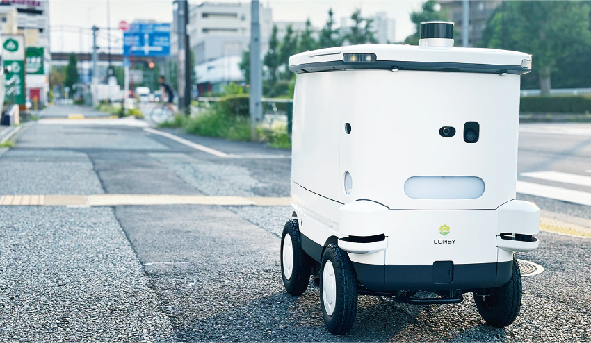
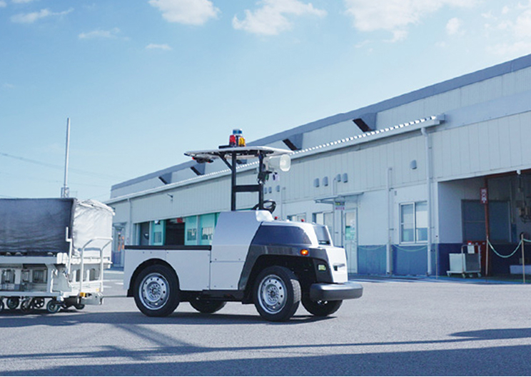
Automation in manufacturing and optimization of last-mile logistics are critical challenges sustaining Japan’s aging society.
By promoting site digitalization, enabling real-time spatial awareness, and facilitating seamless integration with robots, we support the development of next-generation workplaces that enhance productivity while reducing labor dependency.- Logistics
- Manufacturing
READ MORE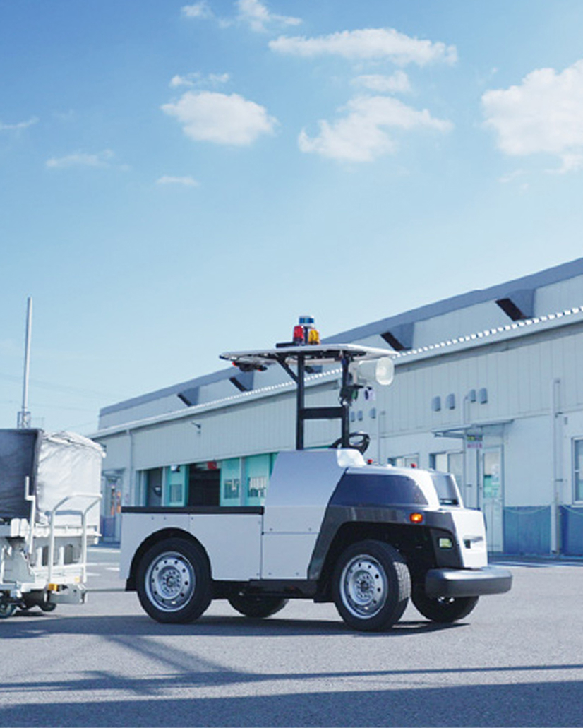
-
CONSTRUCTION, CIVIL ENGINEERING
In the construction and civil engineering sectors, there is a growing need to address the decline in experienced technicians, strengthen safety management, and improve progress-monitoring technologies.
Additionally, the demand for leveraging on-site data is rapidly increasing, driven by goals such as reducing ecological impact and enhancing disaster response.
We offer comprehensive, end-to-end support—from spatial data acquisition to analysis and utilization—accelerating digital transformation (DX) across construction sites.- Construction
- Agriculture and Forestry
READ MORE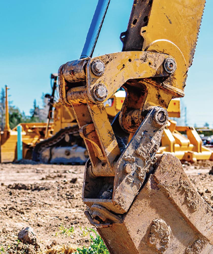
-
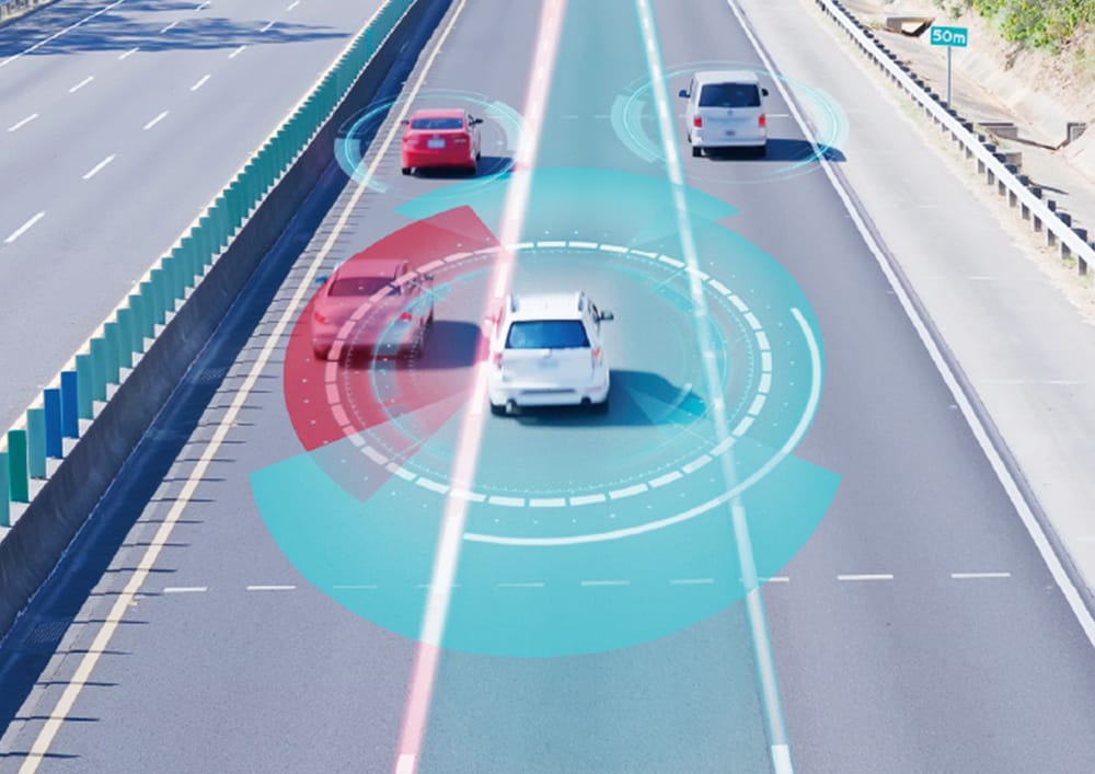
AUTONOMOUS DRIVING & SMART CITIES
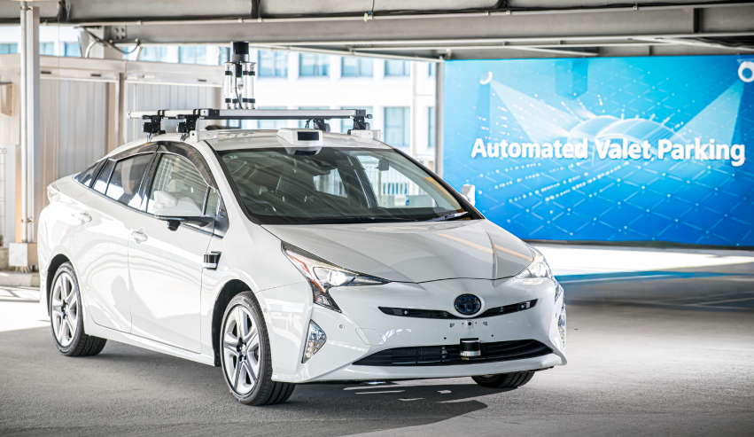
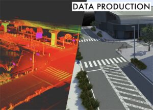
Technological innovation in emerging fields such as autonomous driving, autonomous mobile robots, digital twins, and XR relies on the precise digitalization of physical space.
We offer comprehensive hardware and software solutions to address these challenges across multiple domains, enhancing value through advanced spatial recognition technologies and real-time data processing platforms.
Our approach accelerates the practical deployment of next-generation services in society.- Autonomous driving
- Autonomous mobile robots
- Digital twins
- XR/Tourism
READ MORE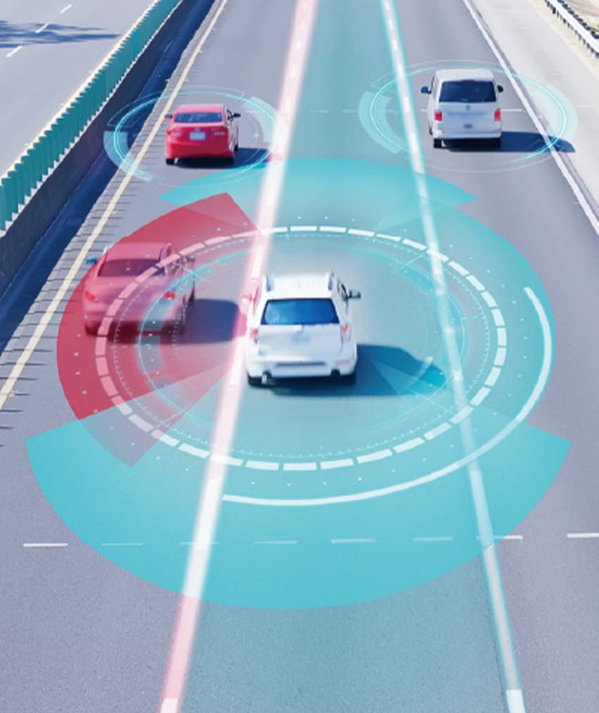
-
SURVEYING & GEOSPATIAL INFORMATION
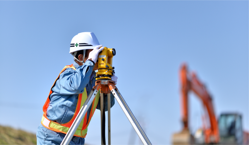
The surveying and spatial information field encompasses foundational technologies that support decision-making across industries, from urban planning and infrastructure maintenance to robot control.
Leveraging the 3D point cloud processing and localization technologies developed in the autonomous driving sector, we research and develop innovative surveying methods that balance accuracy, speed, and operational efficiency.
Our solutions aim to enhance work efficiency and accelerate the deployment of customer-centric solutions.- Surveying
READ MORE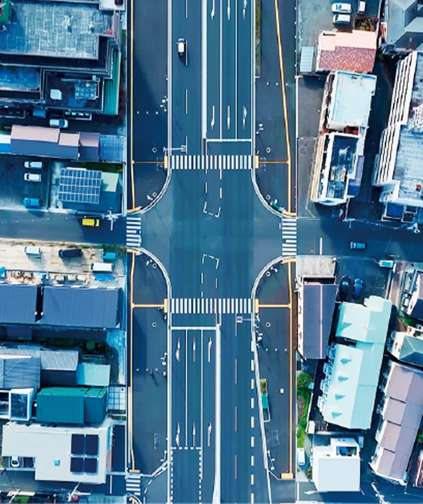
SELECTED CLIENTS








PRODUCTS & SERVICES

Support for the integration and operation of autonomous driving technology
Autonomous Driving Integration
CASE STUDIES

